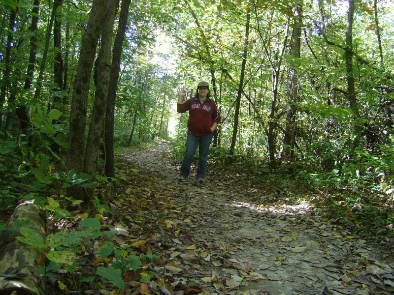
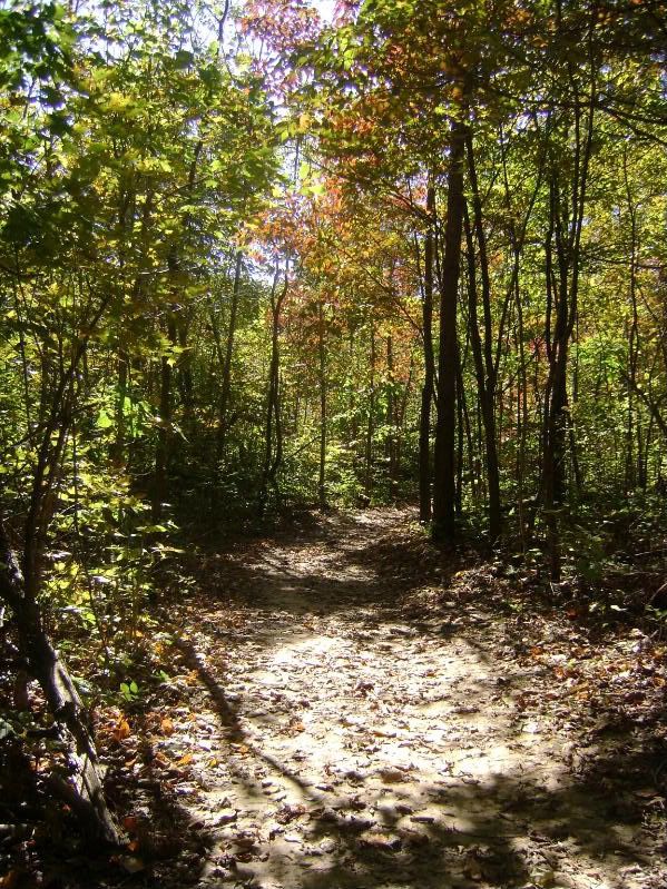
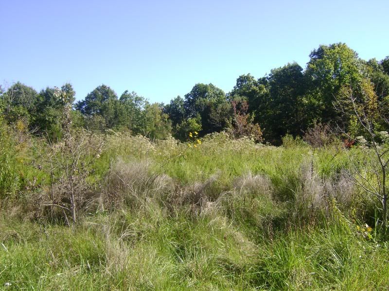
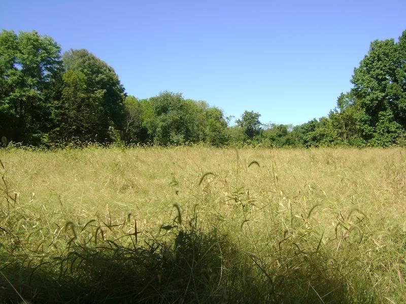
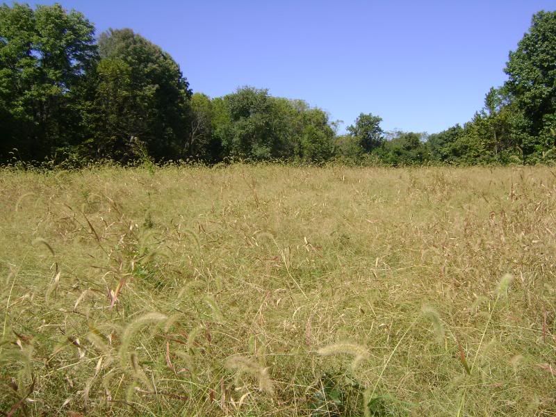
The book descripes the difficulty of this hike as moderate, which is certainly true. While the first mile or so is very flat and easy going (I wasn't so happy that you could hear the traffic from MO 94 for awhile there, but it's not that bad), the long hike has lots of terrain types to worry about. On the way up to the best scenic outlooks was a steep hill climb over rocks and loose stones that took my breath out of me for awhile, and there were a lot of steep descents throughout the trail. You kind of went up and down the bluffs, climbing up steepish hills to get to the views and then twisting back down into the hollows and valleys to bottom out on level ground, and then back up again. Near the end of the hike you end up mostly on flat ground down in the valley with only a few climbs, none of them worth much trouble, so there's quite a bit of this hike that is just a pleasant walk in the woods. A walking stick did me some good though on some of the more steep inclines. Also, near the trail splitting point, I had a lot of trouble keeping the trail in sight when it went into a dry riverbed. Luckily a hiker passed by at that very moment and showed me where it picked up again on the other side.
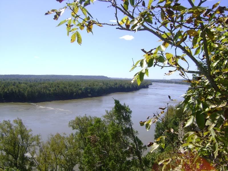
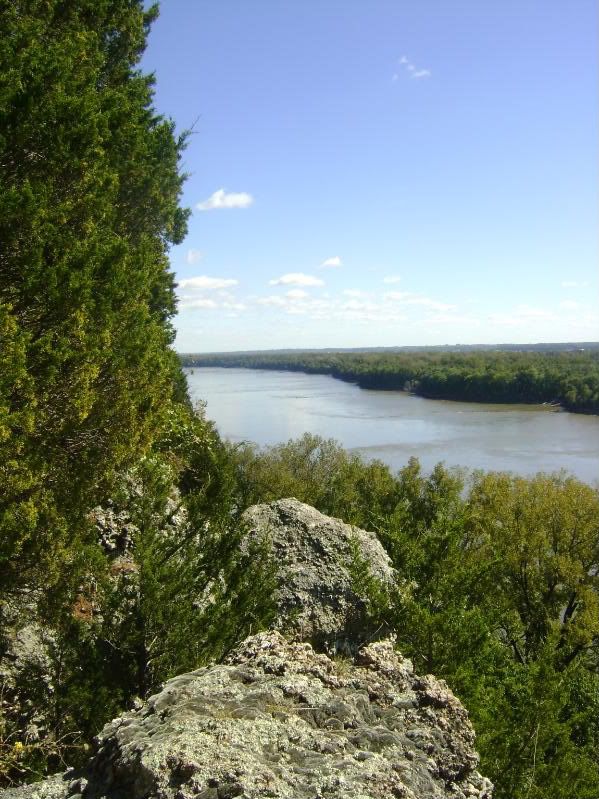
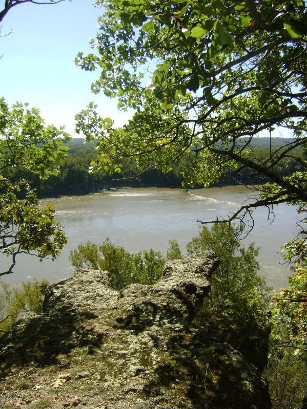
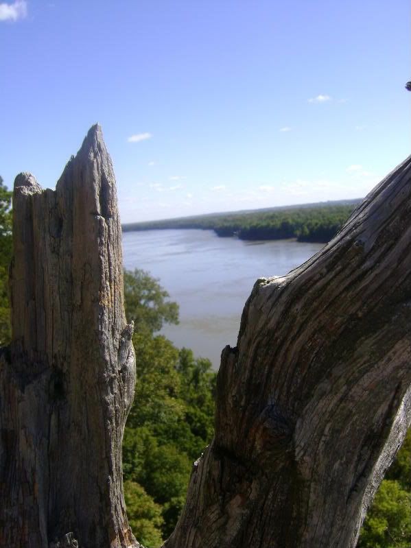
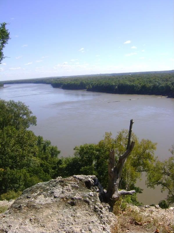
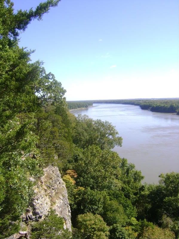
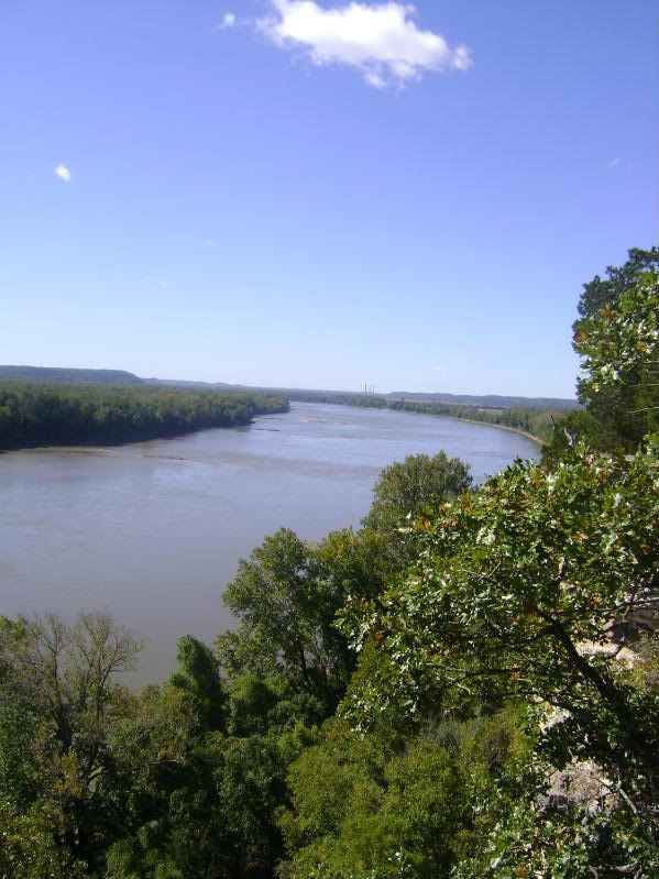
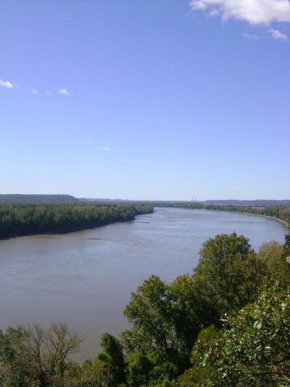
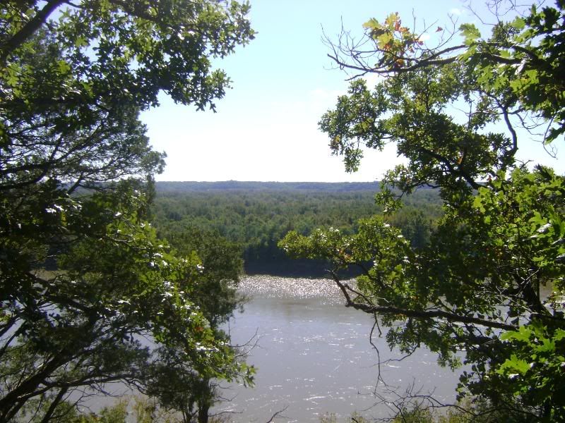
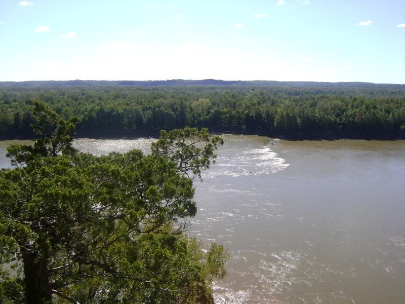
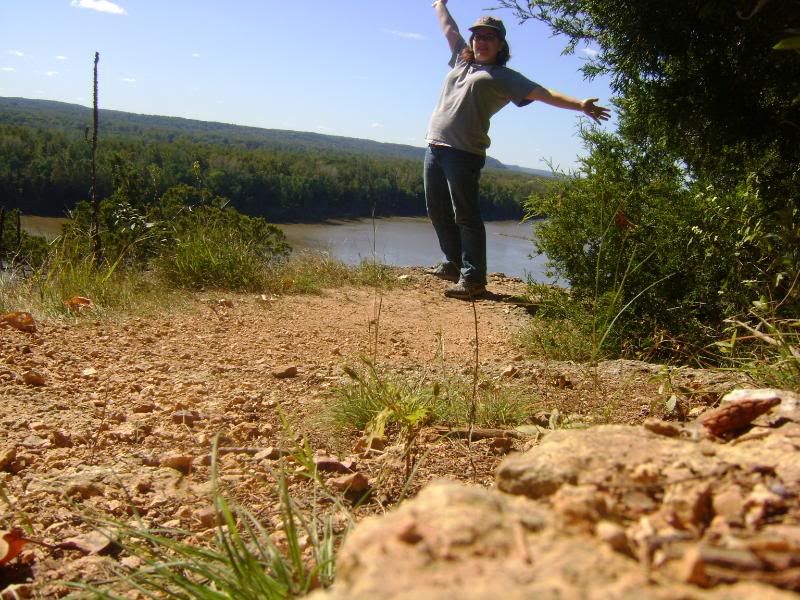
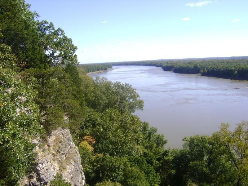
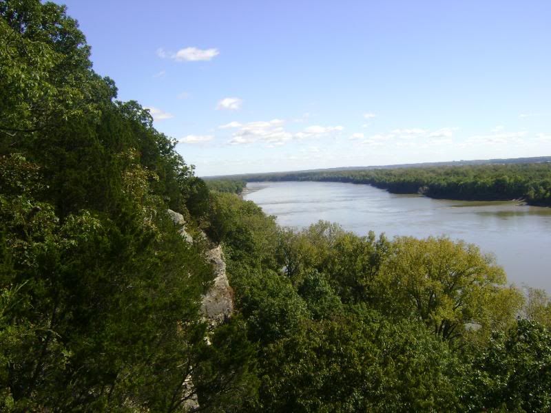
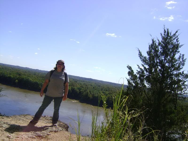
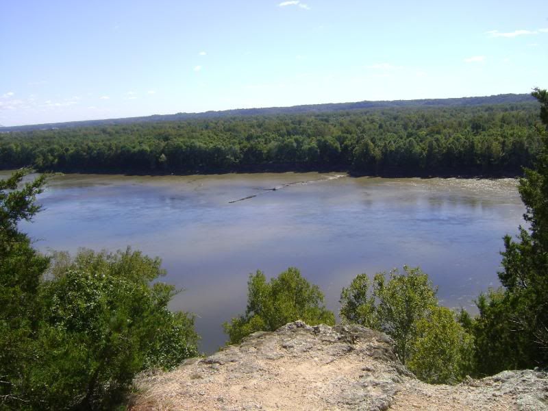
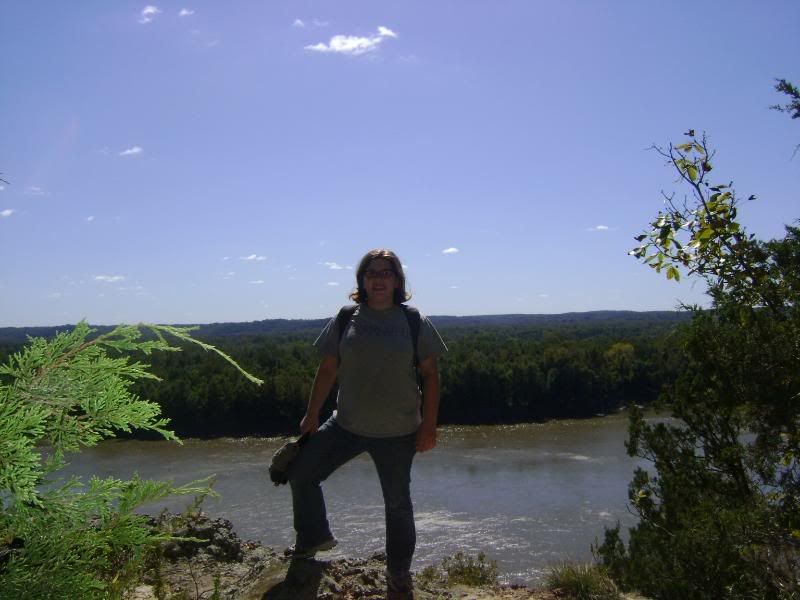
The best part of this hike is the views it offers from the bluffs overlooking the Missouri River. I kind of wish I was brave enough to hike the trail clockwise like the author of the book does, because those views would be brilliant to save until the end of your hike. However going by the trail markings, you get most of them first and then the rest of the hike is forested. The views are breathtaking. You look for the little spurs that lead you out onto rock outcrops, and the Katy Trail is below you (you can sometimes hear families that are walking down there) with the Missouri River stretching out on either side and a wide expanse of forest across from you. This is where I sat and had some lunch and sunned and generally enjoyed the absolute gorgeous beauty of the landscape and the silence of the surroundings. I was tempted to actually just spend the day right there on that bluff and then hike back the was I came when it was time to go home. If I had had a book, I might have! Also on the descent from the cliffs into the wooded valleys below, I saw three deer pretty close up (before I came bumbling along), and that was awfully exciting.
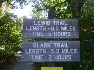
For someone not used to this length of hike, I admit the trail seemed to go on FOREVER. I was sore and asthmatic by the end, but felt very accomplished. I cannot say how happy I was by the end of the trail to hear the familiar sounds of traffic from MO 94 letting me know that I was near the end. I think knowing now how long 5 hours actually is to walk, I'd be able to better concentrate on the trail itself, because this time I was so tired and tryin to figure out where on the trail I was that some of the last couple miles seemed all the same. I took this hike on a weekday afternoon and ran into eight people (three of them with dogs) during my whole trip, so for most of hte stretches I was completely alone without any background noise from other hikers, which was nice. One thing I did not like was that while the trail was marked really well for the first 3 or 4 miles (with "trail" signs and mile markers, which was nice), once you got onto the Lewis Trail, the mile markers seemed to stop and the trail markers were fewer.
I would like to retake this hike (perhaps the shorter one this time) once the leaves start changing, because I can't even imagine how gorgeous those scenic outcrops will look! Also in the winter, you could probably get some great views o the river from places on the trail you normally couldn't because the trees would be without leaves. Definitely a great hike, but I know I'll be feeling it in the morning!

2 comments:
Where is this? It's beautiful and I would love to hike it. I'm doing the long one with Jason...he needs the exercise!
I think this is at Weldon Springs Conservation Area.
Post a Comment