Cliff Caves County Park has been updated since the second edition of 60 Hikes in 60 Miles that I own. What I really want is the third edition that came out this summer, but I feel silly buying a new edition when I still have so much to go in the one I already have, and I need to check to see whether the hikes are all the same or if he's added new ones and taken away others. But for the very fact that so many of the trails have changed, I may request this as a present for the holidays.
Cliff Caves County Park, for instance, used to be, as Steve Henry describes, "A spaghetti bowl of trails" where "trails change as often as people explore new routes" (pg. 4-5, 2nd edition). It seems these days that the County Parks have attempted to tame this place. Informational sign boards now tell us there are three main trails; the River Side Trail (5.1 miles, easy and flat), the Spring Valley Trail (2-3 miles), and the River Bluff Trail (1 mile). I did not attempt the River Side Trail because I did not really have time for another 5 miles, and because it is so flat and paved, it seems more of a gym-shoes and shorts kind of trail for better weather. Being up next to the Mississippi was pretty neat though.
The Spring Valley Trail is the trail that seems to still be in the latter stages of being tamed. Helpful trail markers and signposts are everywhere now, with both helpful and unhelpful arrows. They seem to be attempting to work out just one main loop of the trail, but the trail's past that Steve Henry had described is still very clear. Trails that go this way and that, unmarked, are still very easily picked out as you walk along. Sometimes the signposts attempt to guide you with arrows but there still seem to be too many choices-- and then sometimes you come to a fork or a three-way split in the past where there isn't a sign post and you are forced to make a choice. Some trails have been blocked off badly with piles of sticks and logs in attempts, I would guess, to stop people from choosing these pathways. I started off on the same path as a trail runner (these paths seem wonderful for trail running, if I was into that sort of thing), and then somehow ended up crossing paths with the same woman three times, but heading in opposite directions. You were never quite lost though because you always see a road or some houses in a subdivision that backs right up against the trail at times. It would seem that this park is hard to tame! I often didn't know what direction I was heading, if I had picked the main pathway or not, or even if I had finished the whole trail or my mileage just because of the trail network that isn't quite all there yet.
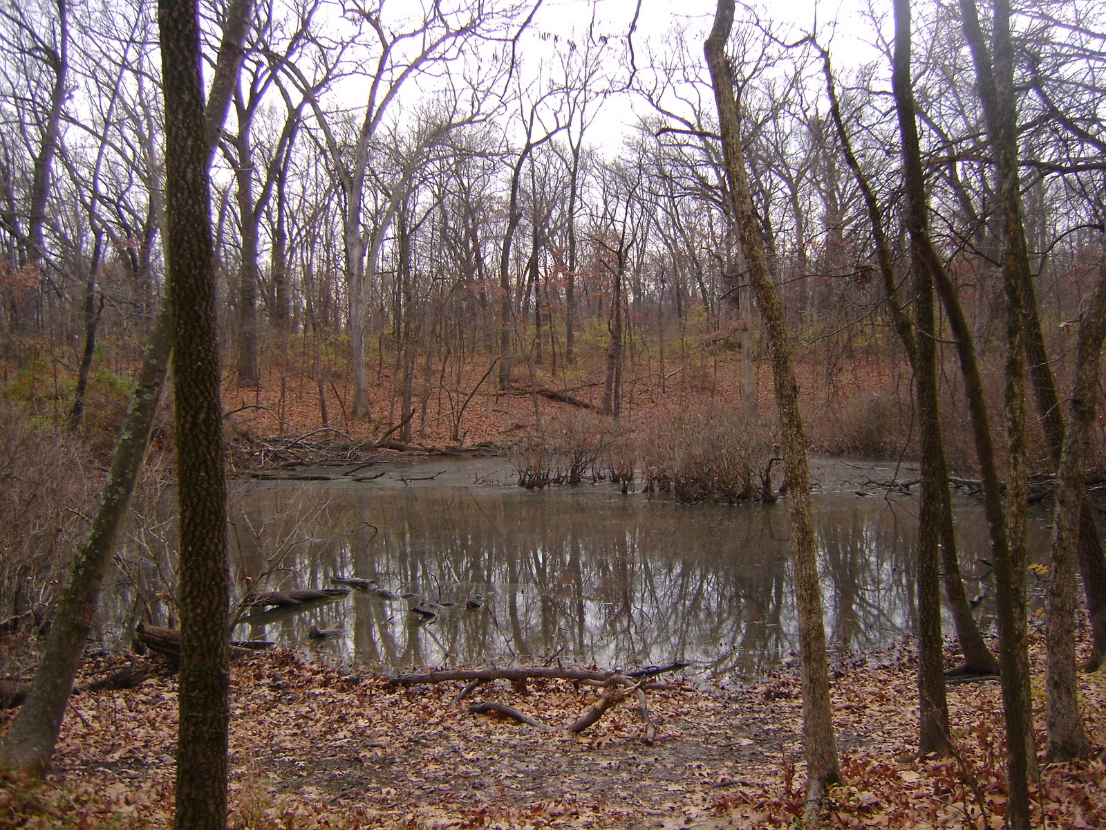
Parts of the trail are a bit monotonous (or at least they are in the winter), but it was peppered with strange bits of beauty that make the trail worth it. Tim Burton-esque ponds with dead trees in it, standing on top of a valley looking down on a stream and road below you while the trees bend eerily inwards like a tunnel. I gave up on the feeling of being a bit lost and knowing that I would easily make it back to the parking lot in no time, I enjoyed myself. The cave at the park is definitely the star. It seems that it has been closed off since 2009, which I was terribly disappointed by. Funny how one day I can be angry about peopled defacing ancient art in one post, but disappointed when I can't go into a cave for the same protective reasons (graffiti, endangered species, fragile ecosystems). I wish so bad that I could have come here a couple years ago, gotten a permit, explored the cave a little bit. But looking at the gated off cave has its own magic too. What a neat, wonderful place.
I also did the Bluff trail, which was shorter and slightly more straight forward (or so I thought). Saw a mountain biker, and the overlooks were indeed lovely. There are no fences to keep you from tumbling off the edge onto the train tracks below. The Mississippi Valley looked a bit gray because of the wintery weather while I was there, but it was still nice to sit and watch the barges pass in the distance. Finding my way back was a bit harder; I attempted to follow the signs and ended up once in a very large open grassy field with a signpost pointing outwards in no particular direction. I wandered the field for awhile before deciding the arrow must be pointing to a different outlet to the road near some houses. I wandered back, got a bit lost on the now winding trails, some signposted, others beaten out by what looked like horses. Overall, a fun trip that I'm sure I'll make again in time.